
Barnegat ZIP Code Coverage by Address
Barnegat's postal geography is an overlay of township, county, and USPS systems. The municipal complex and most public township pages use the Barnegat, New Jersey 08005 mailing identity. Research also found 08050 and 08758 in official regional resource ZIP lists for the township's broad service area. Those two entries are not township-wide assignments. They are edge-area references that must be verified street by street, because a postal city is a delivery label rather than a municipal boundary.
| ZIP | Areas Covered | Post Office | Notes |
|---|---|---|---|
| 08005 | Main Barnegat Township mailing identity, plus portions of nearby rural postal geography | Barnegat, preferred city | Regular township ZIP used by the municipal complex and Barnegat Branch |
| 08050 | Possible near the Barnegat Township and Stafford edge | Manahawkin postal identity | Conditional only, verify the specific address with USPS |
| 08758 | Possible near the Barnegat Township and Ocean Township edge | Waretown postal identity | Conditional only, verify the specific address with USPS |
Do not convert this table into a blanket claim about every street. Unofficial ZIP maps can disagree on detail, and the USPS interactive result did not render during the source inspection. A complete address is the reliable test. The table is a record-search guide that distinguishes the regular Barnegat mailing identity from the two conditional edge references.
08005, Barnegat's Main Postal Door
08005 is the main ZIP printed on the township's municipal complex, Barnegat Branch library, court, and other public references. The township's official contact page uses the Barnegat mailing identity at the municipal complex, which makes 08005 a practical starting point when an address is clearly within the regular municipal area. It also reaches some surrounding or nearby rural postal geography. That is why the label should still be checked against a full address before it is used to narrow a record search.
The Barnegat Township contact directory shows the municipal mailing context and department contacts. It documents the township's regular public address, not an authority for assigning every property in the legal municipality to the same postal route.
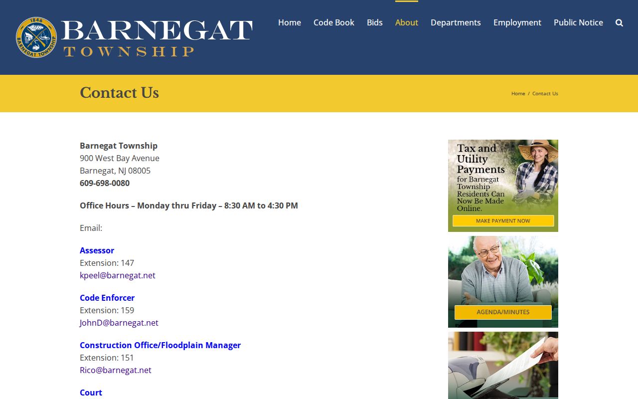
The municipal contact listing is useful for confirming the normal civic mailing form before moving to USPS and parcel-level sources for a specific street number.
Barnegat ZIP Code Edge Checks
08050 carries a Manahawkin postal identity and 08758 carries a Waretown postal identity. Each appears in regional lists connected with Barnegat's broad geographic footprint. Neither should be used as proof that a street is outside Barnegat Township, and neither should be assumed for a Barnegat street without address-level confirmation. The township's boundary includes rural or edge areas where a postal city may differ from the legal municipal name.
This is a common source of missed record results. A search keyed to the municipality may find a parcel whose mail is addressed through a nearby postal identity. A search limited to a ZIP may omit a parcel that is legally in Barnegat Township. Keep both facts in view, then use the county GIS and tax records to determine the municipality, block, lot, and other parcel details.
Address check. Treat 08050 and 08758 as conditional Barnegat-area references only. Confirm the complete address through USPS before carrying the ZIP into a permit or correspondence search.
Confirm a Barnegat ZIP Code With USPS
USPS offers two relevant tools: find a ZIP from a street address, city, and state, or find all ZIPs associated with a city and state. For an actual Barnegat address, use the complete street address. Do not substitute “Barnegat Township” when the postal form expects the postal city “Barnegat.” The postal result verifies a delivery address. It does not establish a property boundary, owner, or township jurisdiction.
| Search mode | Find a ZIP Code |
|---|---|
| Street input | Full street address for the address-specific result |
| Place input | Postal city and state, using Barnegat when USPS expects it |
| Second mode | Find ZIPs associated with a city and state |
| Result use | Normalize a mailing address before a local record search |
The USPS ZIP Code Lookup is the controlling address verifier named in the research. Its interactive result was not available during unattended inspection, so no result fields beyond the documented search modes are claimed here.
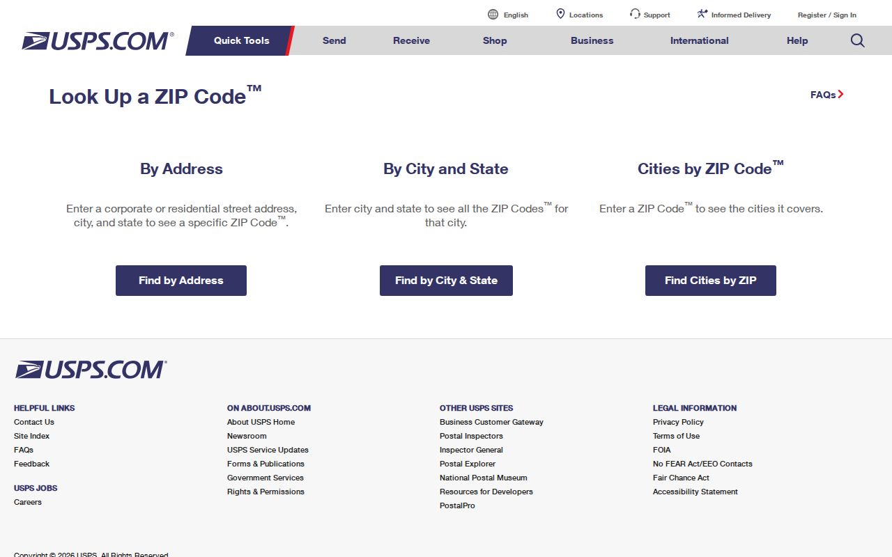
Use the displayed postal tool to validate the delivery form first, then use the county and township sources that organize records by legal or departmental fields.
Barnegat ZIP Code Filters in Permit Records
Barnegat's FTG Citizen Services Portal is the local record source that explicitly exposes Postal Code as a search field. Its construction search also includes permit type, open, closed, or all status, application-date windows, application or permit number, violation ID, contractor or agent, street number and name, city, block, lot, and qualifier. The zoning search is address and contractor focused. The portal advises users to enter only the street name without directionals or a street type when using the street field.
| Postal Code | Available on the construction permit search |
|---|---|
| Street number and name | Use the local street form, without directionals or street type in the name field |
| Block, lot, qualifier | Parcel identifiers that can refine a result |
| Permit or application ID | Direct record identifier when known |
| Contractor or agent | Additional record-search field, not proof of occupancy |
Start at the Barnegat Citizen Services Portal, choose the construction or zoning search, and use the confirmed postal form as one narrowing field. A permit is address-keyed evidence about a project or submission. It is not a general list of people living in a ZIP.
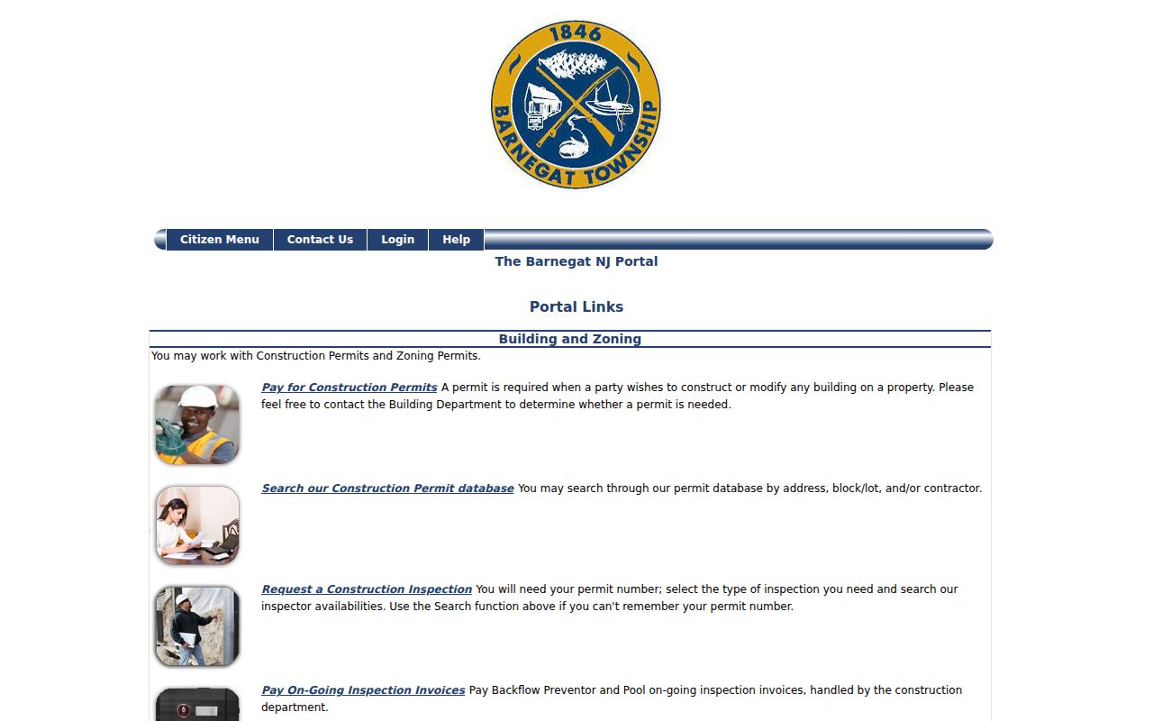
The portal's application links show the local route from an address and postal code to construction or zoning records, with parcel fields available for a more precise check.
Search Barnegat Records After a ZIP Check
The Barnegat ZIP code directory narrows an address. It does not turn a postal label into a complete resident list. After USPS returns the delivery ZIP, move to the record system that uses the field needed for the question. The permit portal can take Postal Code. The Ocean County tax-list screen uses municipality, block, lot, qualifier, property class, and property location instead. Ocean GIS and NJGIN use address and parcel details. The public state voter status page is for an individual's own registration, not an unrestricted ZIP-wide directory.
- Enter the full street address in USPS and save the confirmed postal city and ZIP.
- Use the address in the Barnegat permit portal when a construction or zoning record is relevant, adding Postal Code if useful.
- Use county GIS to identify the municipality, block, lot, and parcel context for the confirmed address.
- Run the Ocean County tax-list search with its municipality and parcel fields, not a presumed ZIP filter.
- Use the appropriate official request channel when a voter or other record is not publicly searchable by ZIP.
Once the parcel or street is narrowed, use the Barnegat street directory for the separate street-by-street record workflow. It covers address-keyed sources in more detail without treating a ZIP as a legal boundary.
Barnegat ZIP Codes Are Not Parcel Keys
Three address facts need separate columns in a research note. The situs is where a parcel sits. The mailing address is where tax or deed correspondence goes. The legal description identifies the land through municipality, block, lot, qualifier, subdivision, or metes and bounds. The Ocean County recording cover sheet requires the municipality, block, lot, and grantee mailing address. A ZIP can appear in the mailing form, while the land search depends on the legal parcel identifiers.
Ocean County GIS provides parcel geometry, cadastral information, tax-map context, imagery, zoning, flood, wetlands, streams, and subdivision layers. NJGIN's Property Explorer can search by address, county, municipality, block, and lot. Its hosted statewide parcel services redact owner names for certain protected people under Daniel's Law, so a blank owner field is not proof that no owner exists. Verify a current parcel card or recorded document with the local assessor or Clerk where needed.
The NJGIN parcel documentation describes the address and parcel search fields and the protected-person redaction rule.
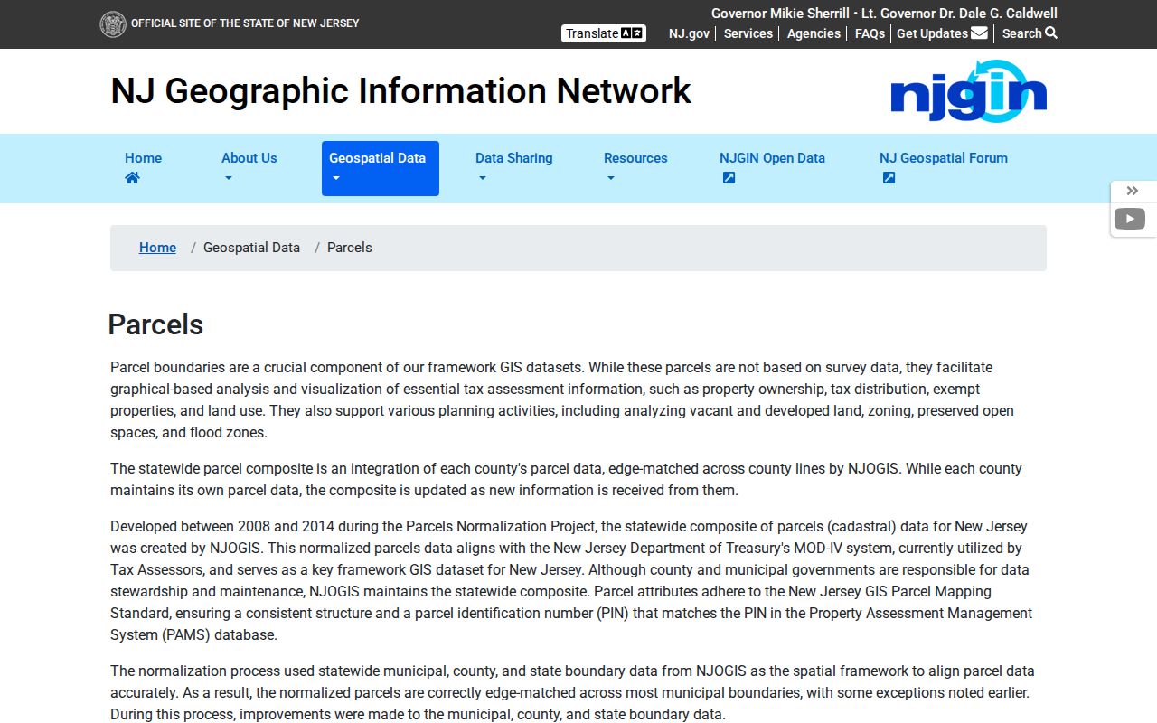
The parcel interface illustrates why a confirmed ZIP is only a starting point: county, municipality, block, and lot carry the legal record trail.
Note: A mailing address different from the situs can be useful correspondence context, but it does not establish where a person currently lives.
Barnegat ZIP Code Labels and Township Limits
USPS city names are routing labels. They are not township boundaries. Census ZIP Code Tabulation Areas are also statistical approximations, not delivery routes or property lines. In Barnegat Township, the practical effect is local: an address near an edge can use a Manahawkin or Waretown postal identity while the parcel research must still test the Barnegat municipal boundary and legal description. Conversely, a Barnegat postal label can reach beyond the township's legal line.
- ZIP and ZIP+4
- The five-digit ZIP identifies a delivery area; ZIP+4 adds a more specific delivery segment for a complete address.
- PO-box ZIP
- A ZIP assigned for post-office-box delivery rather than a blanket statement about every street in an area.
- Unique ZIP
- A ZIP used for one organization or institution. No verified Barnegat example was located in the research.
- Carrier route
- A delivery-route grouping used by USPS. It is not a property boundary or municipal district.
No verified township-wide street-renumbering project or year was located. If an old postal form or street spelling conflicts with a current parcel record, ask the assessor or Clerk to confirm the address history rather than assigning a date to the change.
Barnegat ZIP Code Searches Meet Older Names
Historical context. Postal verification solves a modern delivery question. It does not erase older jurisdiction names. Barnegat Township was formed as Union Township in 1846, and Ocean County was created from southern Monmouth County in 1850. Older deeds, maps, newspapers, and directories can therefore use Union Township or Monmouth County. A historical street label may also differ from the current postal form.
For an older address, first confirm the modern postal form with USPS, then use the county GIS and legal description to bridge to parcel research. Search Barnegat, Union Township, Ocean County, and Monmouth County when the period warrants it. The historic framework around Bay Avenue, Main Street, Collins-town, and Lower Shore Roads can help identify a place, but only a dated source and the proper legal record establish the relevant connection.