
How Barnegat Neighbors Appear
Official records can describe a Barnegat Township block from several angles. The map establishes the physical parcels. Tax and Clerk records identify a recorded property role. Election records concern registered voters under statutory rules. Permit files can show a work or contractor connection to an address. Those are useful distinctions because the person named on a deed, the party receiving mail, a permit applicant, and a nearby resident may be different people. Treat each result as evidence of the role it actually records.
| Block Source | What It Shows | Access |
|---|---|---|
| Ocean County GIS | Parcel boundaries, nearby polygons, tax maps, easements, imagery, and land-use layers | Public map and downloads; protected owner names may be redacted |
| Ocean County tax list | Property location, block, lot, qualifier, and classification | Public query; assessor supplies local parcel-card help |
| Ocean County Clerk | Recorded owners, grantors, grantees, liens, and parcel-linked instruments | Online records from April 1, 1977; counter and older-book fallback |
| Ocean County voter list | Statutory voter-list fields tied to a residence number and street | Signed OPRA or Election Order procedure |
| Barnegat Police NPZ | Street-to-neighborhood-policing zone and officer contact | Public street search, not a people roster |
Start with the block source that answers the immediate question. The map is best for adjacency. The tax list supplies identifiers. The Clerk confirms a recorded transaction. A voter-list request is a formal record request, not a public street search box. Community organizations can provide a contact path, but no public Barnegat HOA or member roster was located in the research.
Map Barnegat Neighbor Parcels
Ocean County’s GIS program supplies parcel, cadastral, easement, right-of-way, aerial, zoning, flood, tax-map, wetlands, stream, subdivision, and site-plan layers. It does not offer a conventional HTML search form. The practical method is visual: find the target parcel, turn on the parcel or tax-map layer, and click the polygons that surround it. A corner lot, rear lot, easement, open-space tract, or non-addressed parcel may be adjacent on the map without representing another household.
- Find the known address or parcel in the Ocean County GIS or NJGIN Property Explorer, then note the municipality, block, lot, and qualifier.
- Click the surrounding polygons one at a time and record their street locations, map identifiers, and whether the parcel is a dwelling, open space, or another land type.
- Run each selected identifier through the Ocean County Tax Board list search or contact the Barnegat assessor for a maintained parcel record.
- Use the resulting recorded owner or legal identifiers in the Clerk index. For the full named-street chain, move to the Barnegat Township street directory.
This address to map to parcel to tax list to Clerk flow identifies surrounding parcels and recorded interests. It does not establish who sleeps at each address. Note: A map popup is not a certified title record and should be verified with the assessor or Clerk when an official copy matters.
Barnegat Neighbors and Parcel Roles
A parcel record can hold more than one address. The situs address is the land’s physical location. A mailing address is where correspondence goes. A deed can name a grantor or grantee, while a tax listing may reflect an annual assessment cycle. The Ocean Clerk’s online official-record system begins on April 1, 1977. For an older chain, use the Clerk counter, deed books, State Archives, or FamilySearch collections rather than assuming a web result is complete.
Daniel’s Law also affects the map. NJGIN says that covered owner names are redacted from hosted parcel, tax-list, map, and application services. The August 2026 Ocean County parcel update is useful current context, but a blank owner field still does not mean a parcel lacks an owner. Carry the block and lot to the local assessor or Clerk for a lawful verification path.
Barnegat Neighbor Permit Clues
Barnegat’s FTG construction portal adds an address-keyed record source to the block trail. Its public fields include permit type, status, application date range, application or permit number, violation ID, contractor or agent, street number, street name, city, block, postal code, lot, and qualifier. The portal instructs users to enter only the street name, without directionals, suffixes, or street types. That small search rule can decide whether a street query finds anything at all.
A permit can date work, identify an applicant or contractor, and point to a certificate of occupancy, zoning approval, demolition, raising, or code record. It is not proof of a household. When a needed older permit is absent online, request maintained permit cards, approvals, or code records through the municipal OPRA route. A recorded deed is likewise about a legal interest, not an automatic statement of present occupancy.
Barnegat Neighbors on Voter Lists
New Jersey’s certified voter list is governed by N.J.S.A. 19:31-18. It can include name, address, date of birth, party affiliation, and voting history. It excludes signatures unless a court orders otherwise. The statewide underlying system contains more operational information, but not all of that data is public directory material. Public voter information should be read as registered-voter presence, not as a census of a block, and no ballot selections are revealed by voting history.
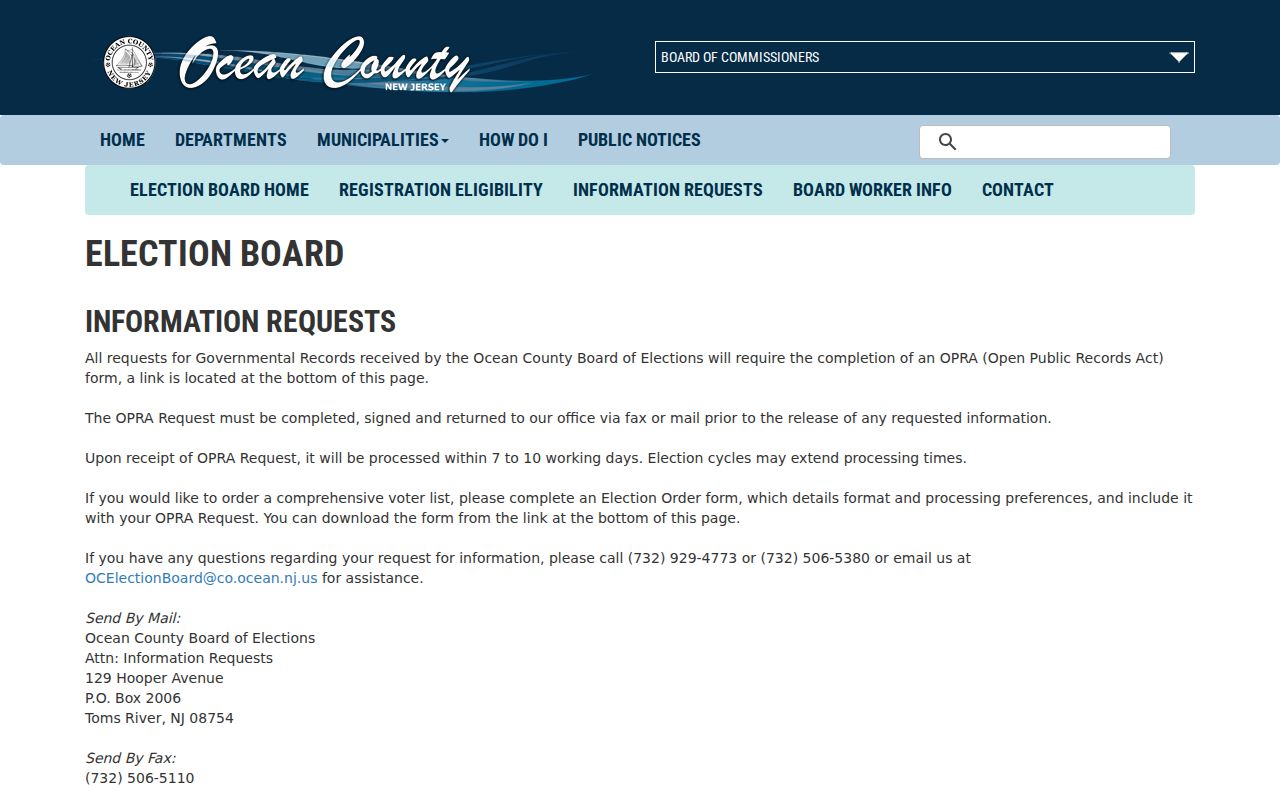
Ocean County’s information-request page shows the formal path for an OPRA form or Election Order. It states a 7 to 10 working-day turnaround that can stretch during election cycles. Email transfer has no stated fee, a CD is $0.50, and printed pages use listed copy charges. The individual state portal requires an exact county-provided name; it is not the route for a street-wide request.
The Ocean County Elections information-request screen documents the lawful request channel for this kind of Barnegat Township neighbor research.
Protected participants may be omitted or use a substitute address. A non-match should never be treated as proof that a person left the area.
Barnegat Neighbors in Nine NPZs
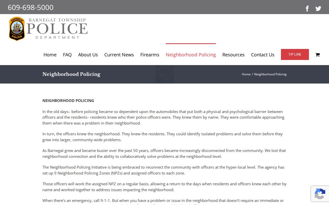
Barnegat Police has nine Neighborhood Policing Zones, called NPZs. Its street-search tool maps a street to a zone email and assigned officer group. For example, the research found street-to-zone rows such as Aaron Way to NPZ5 and Barnegat Boulevard to NPZ2. This is a genuinely local civic layer for a block question. It tells a resident which police neighborhood contact covers a street without claiming to identify the people who live there.
The Neighborhood Policing page shows the street-search format and the nine-zone structure.
Use the NPZ result to route a safety or community question to the official contact. It is not a substitute for a private neighborhood roster.
Barnegat Neighbor Community Contacts
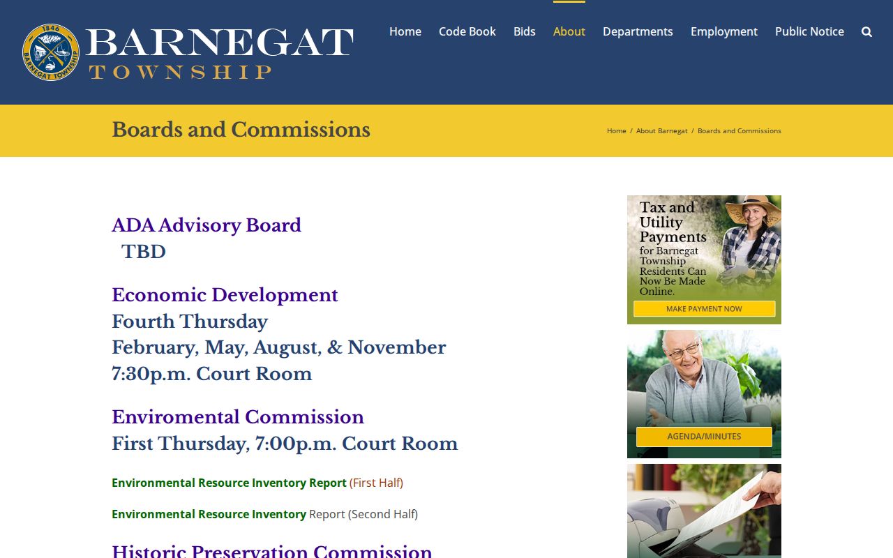
Community context is available through public organizations, not a scraped member list. Barnegat’s official boards and commissions include the Planning Board, Zoning Board, Historic Preservation Commission, Environmental Commission, Open Space Committee, Senior Advisory, Recreation Disability Advisory, and Wildfire Safety Council. The municipal code allows homeowners’ associations to own or maintain common open space when a development approval provides for it, and the construction page notes that HOA or planned-adult-community approval may appear in a permit trail. No public HOA or member roster was located.
| Community contact | Useful block-level role | Access |
|---|---|---|
| Barnegat Police NPZ | Street-to-zone civic and safety contact | Public street search |
| Township boards and commissions | Public meeting and land-use context | Official directory |
| Barnegat Historical Society | Local history, photographs, and family or place leads | Verify current holdings directly |
| Barnegat Chamber of Commerce | Voluntary business-community contact | Membership is not a residence record |
The township’s municipal departments directory is a useful starting point when a municipal clerk, planning, code, or police contact is needed for a specific record.
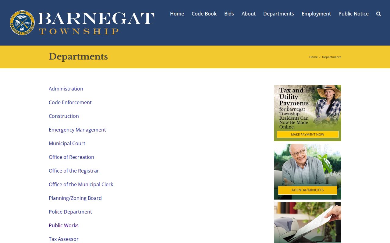
That directory helps route an address-specific question to the office that maintains the record. It does not provide a block resident list.
The official boards and commissions listing shows the public community layer available when no private association roster is published.
Ask an organization directly whether it chooses to publish a contact directory. Private membership details should not be assumed available.
Barnegat Neighbor Source Comparison
Official records and commercial neighbor tools answer different questions. A commercial category tool may combine property, marketing, and old directory data, but it can merge adjacent addresses, confuse an owner with an occupant, or retain stale information. The official parcel trail is slower because it requires map, tax, and deed checks. It is also clearer about which custodian created the record and what the result represents.
| Source type | Useful for | Limit |
|---|---|---|
| Official GIS, tax, and Clerk records | Parcel adjacency, legal identifiers, and recorded property roles | May have annual lag, older-record cutoffs, or protected redactions |
| Election request route | Lawful registered-voter record requests | Formal process; not a household census |
| Commercial neighbor tools | General leads that need independent checking | Can be stale or merge people and addresses |
| Voluntary community groups | Local contact and participation context | Not a public member roster |
For a current parcel question, verify with the custodian. For a neighborhood contact, use the NPZ or a voluntary organization. Keep the two tasks separate.
Barnegat Neighbor Privacy Limits
Many people on a block will never appear in a property roll. Household members, guests, caregivers, delivery information, utility customers, and private association members are outside the public parcel trail. The New Jersey Address Confidentiality Program supplies a legal substitute address for eligible participants. Daniel’s Law supports redaction of covered public servants and household family members from government websites. A protected address or redacted owner field is a privacy feature, not an invitation to search around it.
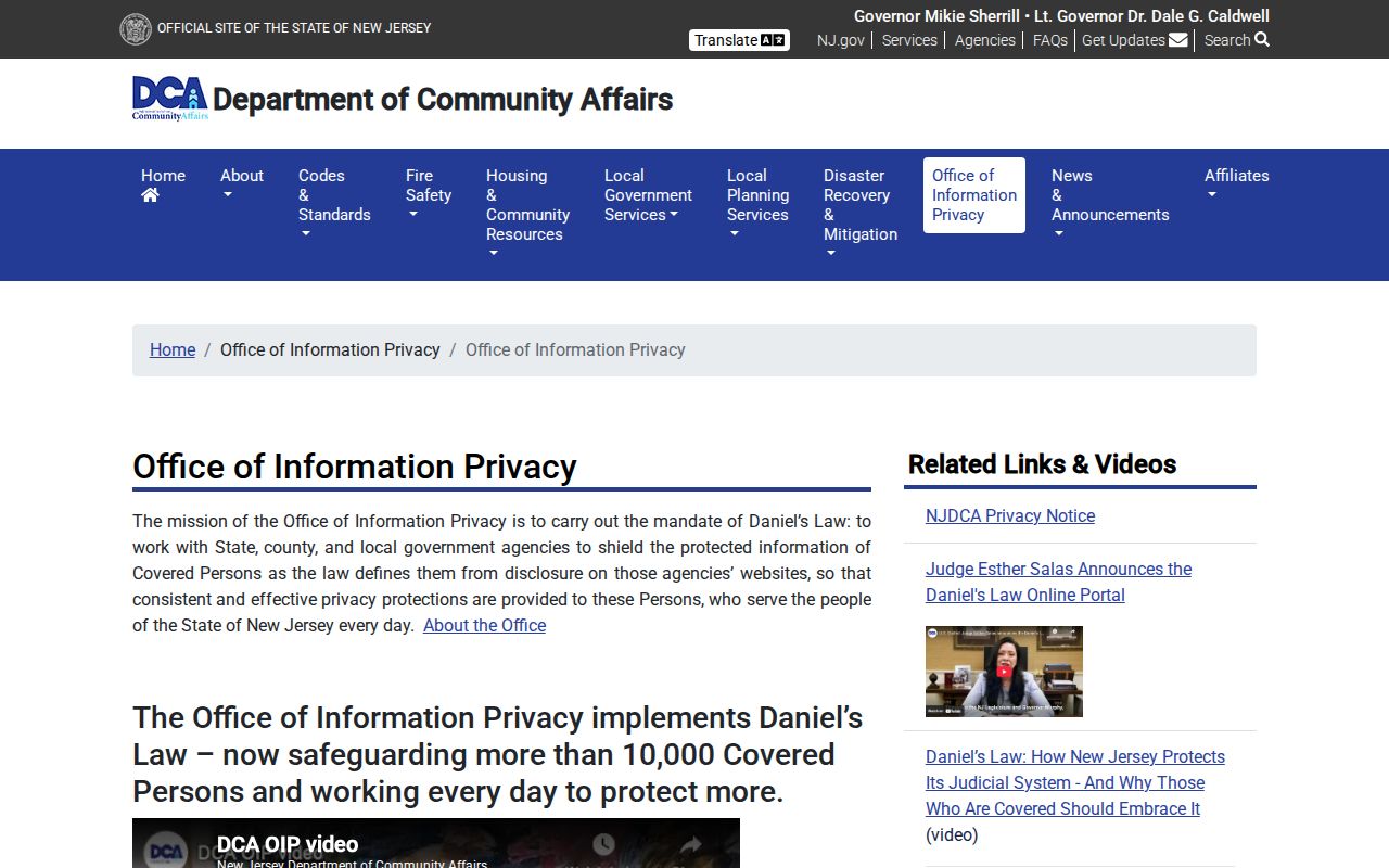
The Office of Information Privacy explains the Daniel’s Law program that affects government record displays. The accompanying state page is shown here because its redaction rules directly affect Barnegat Township neighbor searches.
New Jersey’s Data Privacy Act can provide consumer correction and deletion routes with covered data controllers, but it does not erase a lawful public deed kept by a government custodian. Contact the office that created a record to request a correction.
Lawful use. Barnegat Township neighbor records support civic awareness, property questions, reconnecting, and personal safety. Never use records to follow, harass, intimidate, or harm anyone.